La Cautiva Ranch


Context and objectives
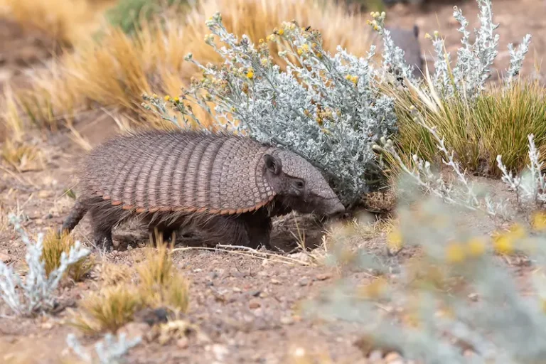
Located in the heart of the Patagonian steppe, La Cautiva Ranch encompasses some 15,000 hectares of open, solitary, and resilient landscapes, just 30 kilometers from the towns of Gobernador Costa and José de San Martín, in the west of the province of Chubut. Its geography is dominated by cushion scrub, wind- and cold-resistant grasses, and areas of vegetation adapted to the harsh climatic conditions. In more humid areas, wetlands, meadows, and small reedbed lagoons emerge as biological oases within the dry landscape, providing key habitats for local biodiversity.
The ranch is located entirely within the Patagonian steppe ecoregion and exhibits significant environmental heterogeneity. Two main runoff sectors are identified: a northwest zone, where water drains towards Laguna Dulce (partly located within the property), characterized by a wide depression, and a southwest sector, made up of small valleys, ravines, and areas of scattered wetlands.
Both zones lack permanent watercourses but have temporary runoff that is activated especially during the spring thaw, generating a seasonal hydrological dynamic that influences the structure and functioning of local ecosystems.
In this context, our objective is to work towards achieving a detailed characterization of the biological and ecological aspects of the environments present in La Cautiva, including both its flora and fauna, and to analyze the functional processes that sustain them. As part of this initiative, a long-term monitoring plan is also proposed to generate continuous, reliable information to guide future management and conservation strategies in the area.
Our actions
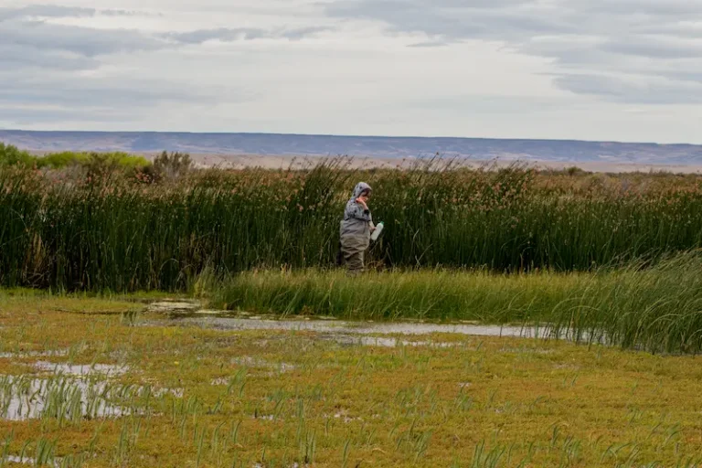
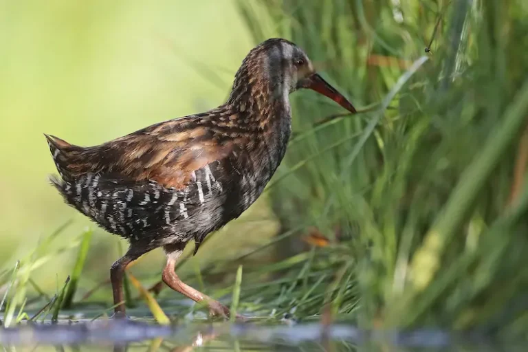
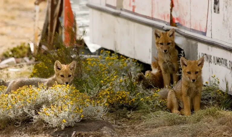
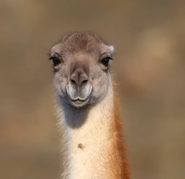
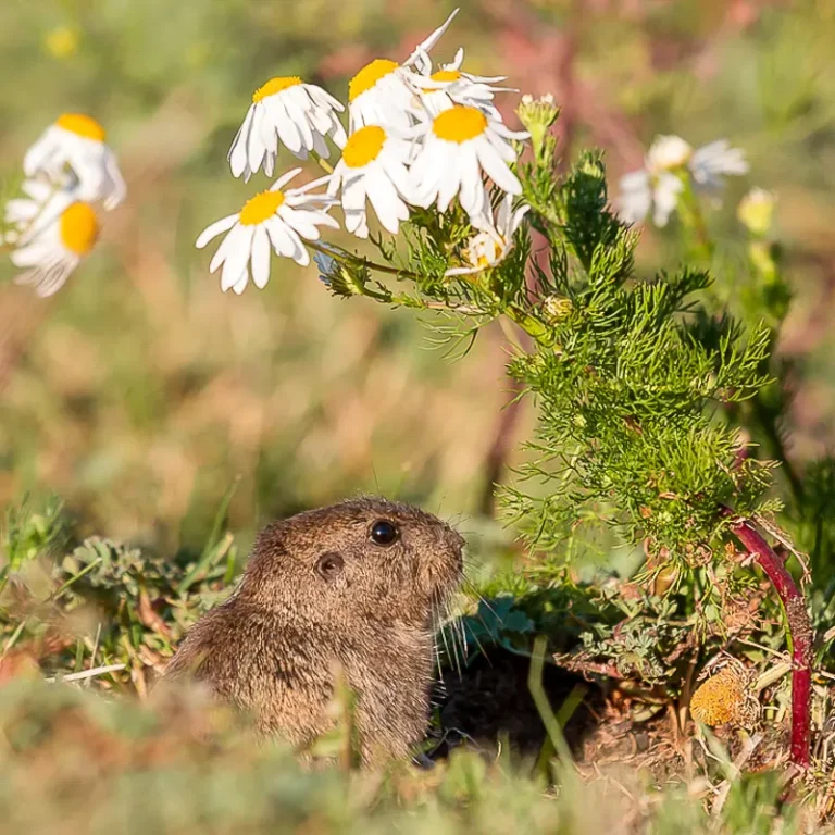
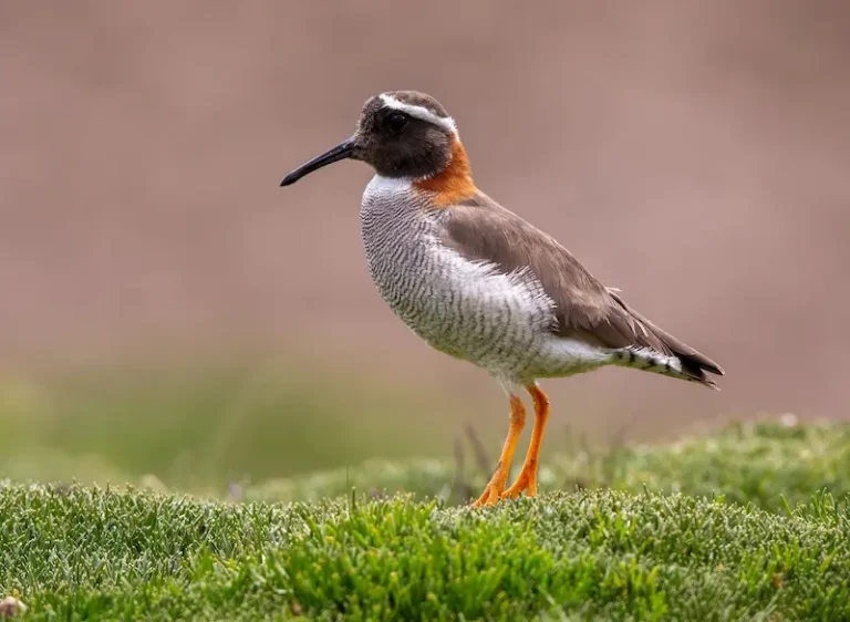
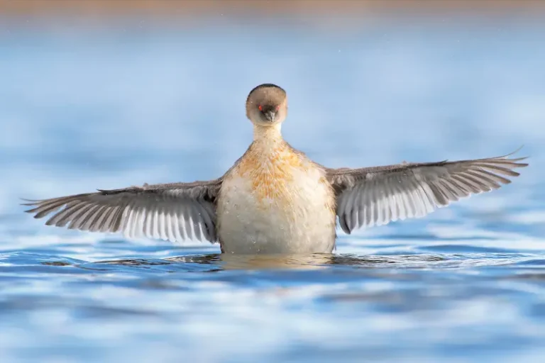
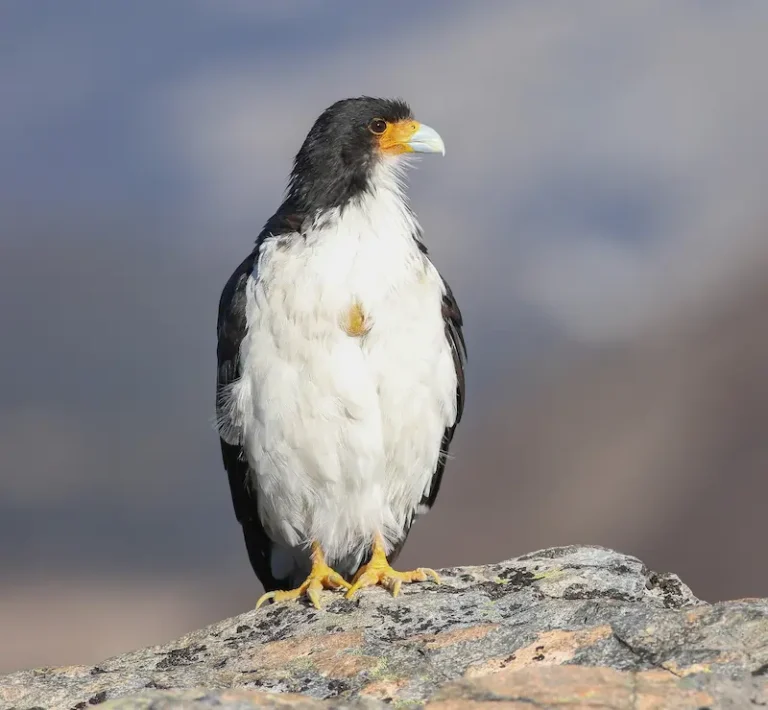
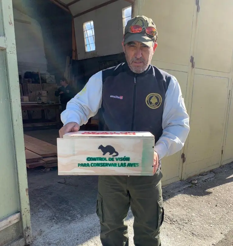
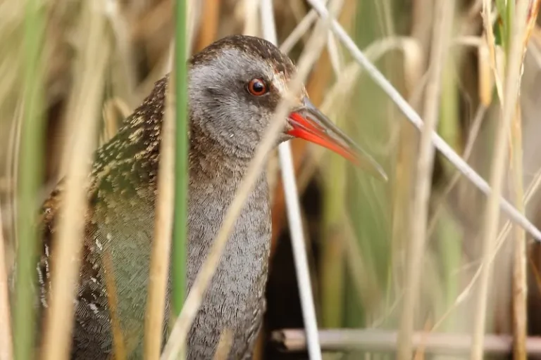
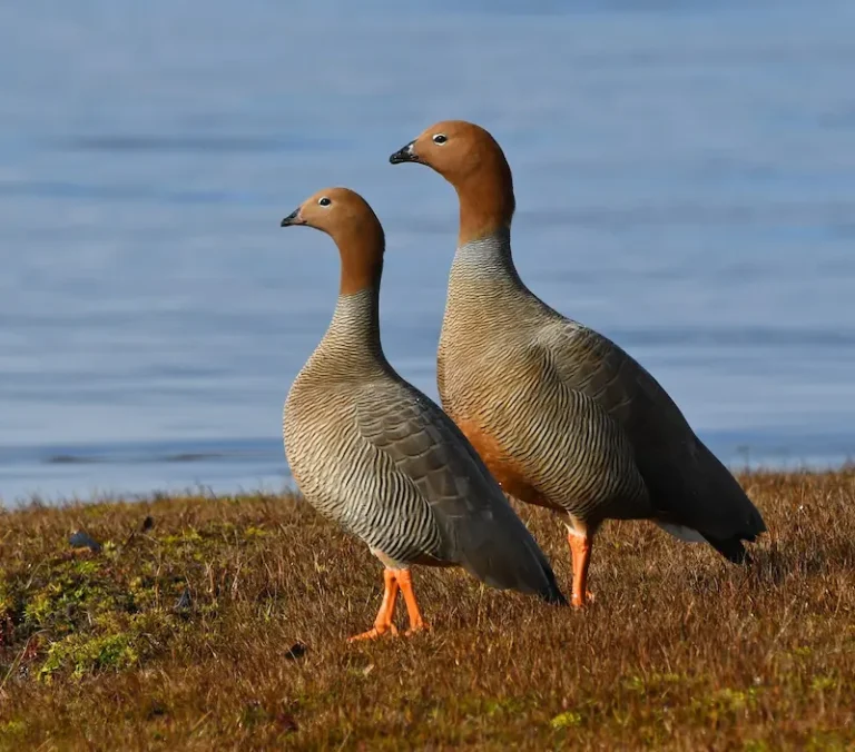
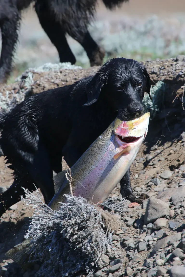
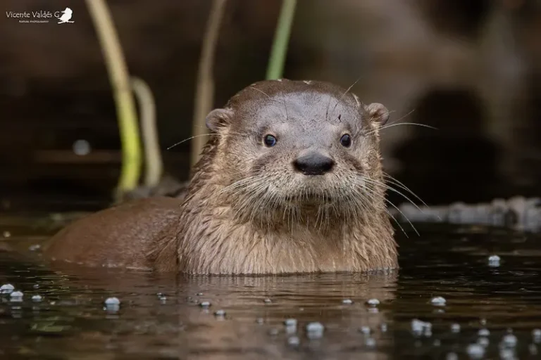
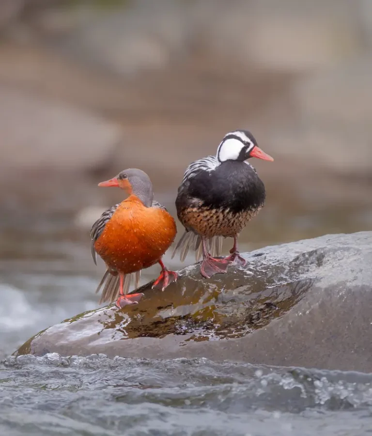
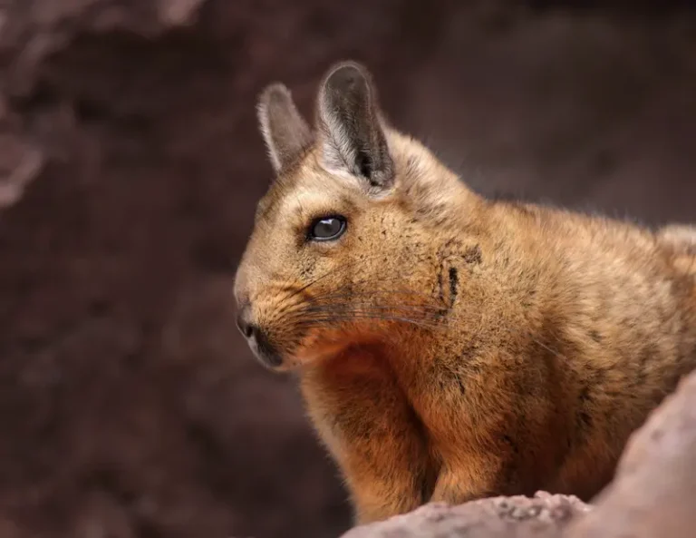
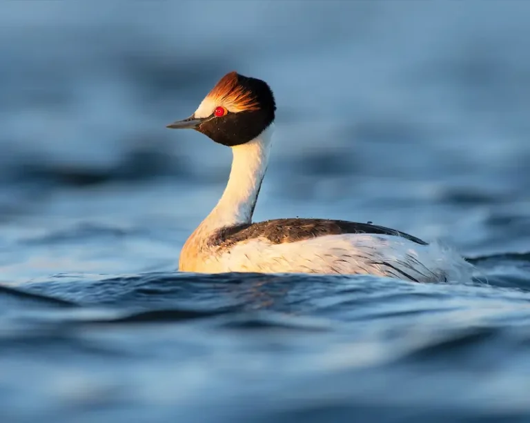
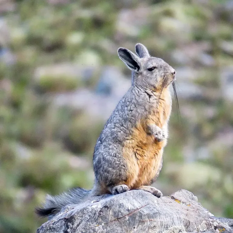
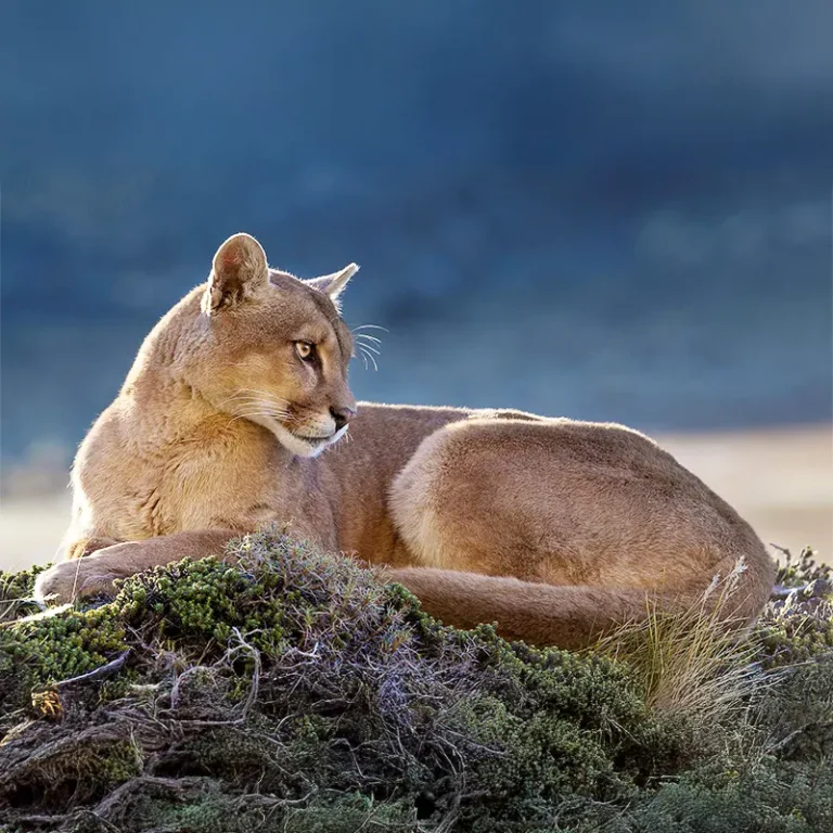
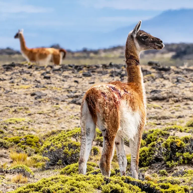
- At La Cautiva Ranch, we implement a comprehensive ecological monitoring and evaluation strategy, based on a systematic grid that allows us to work in an organized and representative manner throughout the property. We survey terrestrial and aquatic birds using point transects and complete counts in lagoons and wetlands, record medium- and large-sized mammals with camera traps and track surveys, and focus particular efforts on species such as the Southern Mountain Viscacha through remote observations and fecal searches. To study micromammals—rodents, marsupials, and bats—we use traps, mist nets, acoustic detectors, analysis of owl pellets, and fecal content. We estimate the density and abundance of guanacos using distance sampling, recording the location and size of each group. We also analyze the condition of pastures and wetlands through satellite indices (NDVI and NDWI) and take aerial images with drones to monitor long-term changes. Finally, we monitor invasive species such as feral horses, hares, and minks, and work on the design and development of specific control plans. This combination of methodologies enables us to generate key insights into how this ecosystem works and how we can better conserve it.
Protagonists

La Cautiva Ranch
This project is possible thanks to our network of donors and collaborating institutions.